Mapping the road to the liberation of Mosul

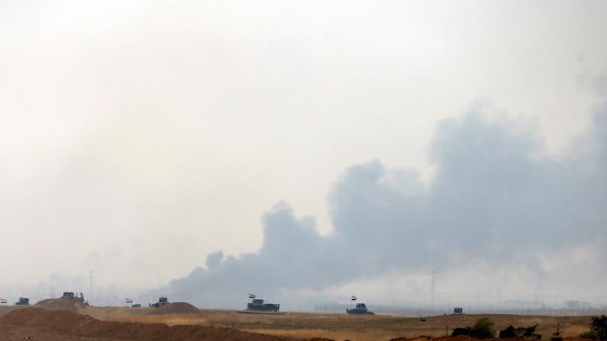
Mosul has become surrounded from the north and east by peshmerga forces, from the west by peshmerga and some Yazidi forces, and from the south in the Qayyarah base.

RTX2CRGW.jpg
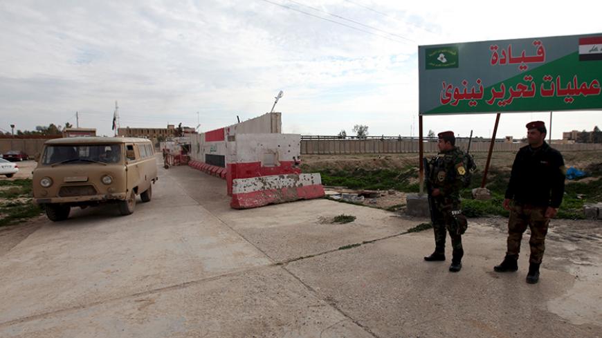
An Iraqi soldier is seen at his base in Makhmur, after it was freed from control of the Islamic State, south of Mosul, April 17, 2016. — REUTERS/Ahmed Jadallah

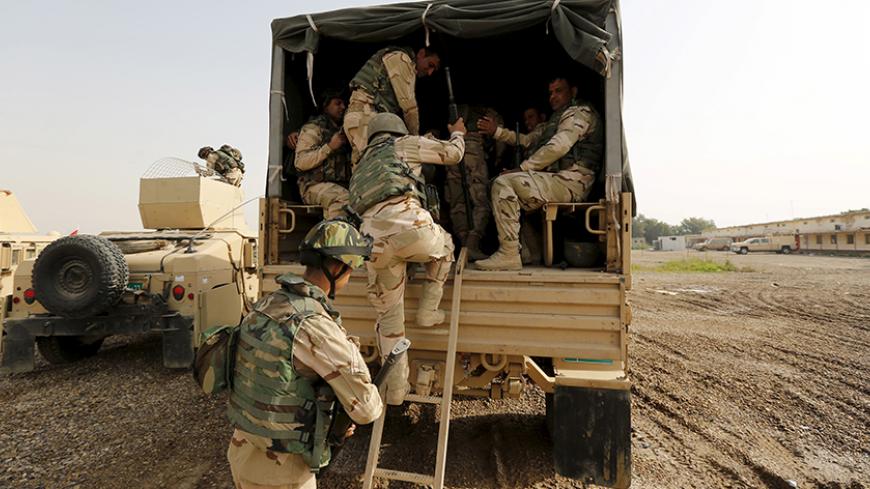
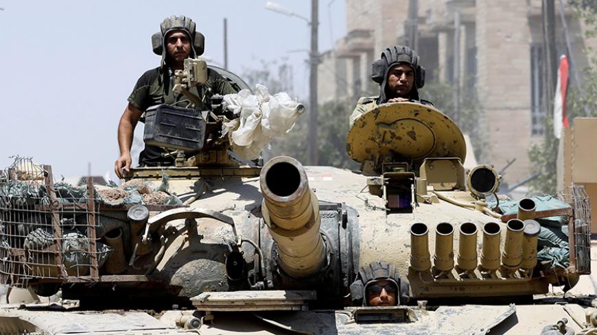
BAGHDAD — Iraqi forces are advancing toward the city of Mosul from the four corners of the country. Kurdish peshmerga are moving from the north and east, while government-controlled forces are heading toward the city from the south and west.

In recent developments in the Iraqi arena, Prime Minister Haider al-Abadi announced July 9 the liberation of the Qayyarah air base 60 kilometers (37 miles) south of Mosul. But the pertinent question is: How will the Iraqi forces reach Mosul from different directions?

Subscribe for unlimited access

All news, events, memos, reports, and analysis, and access all 10 of our newsletters. Learn more

$14 monthly or $100 annually ($8.33/month)
OR

Continue reading this article for free

All news, events, memos, reports, and analysis, and access all 10 of our newsletters. Learn more.

By signing up, you agree to Al-Monitor’s Terms and Conditions and Privacy Policy. Already have an account? Log in